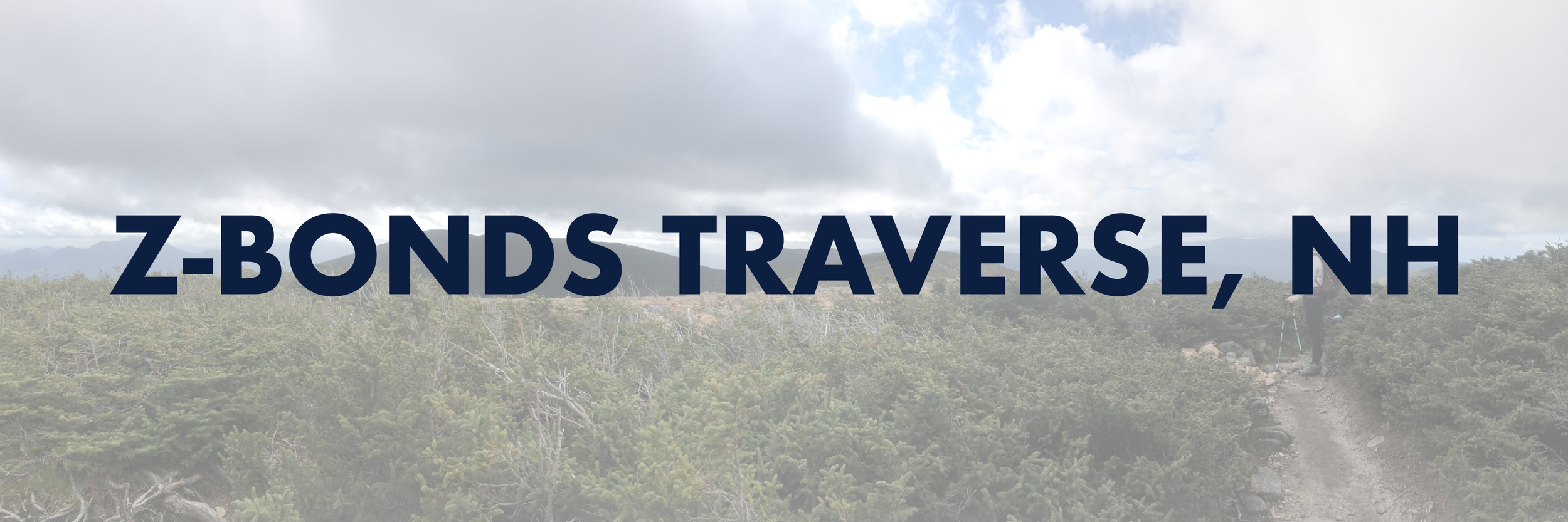
Zealand Mountain (4,260'), West Bond (4,540'), Mount Bond (4,698'), and Bondcliff (4,265')
What an incredible trip. It’s truly much easier to describe this as an experience over just a day hike. When I met my friend Kailee on the Kinsmans last month, I had no idea if we’d ever be able to hike together again. She was in NH on travel work assignment, we were heading into winter, and let’s face it - the Whites aren’t exactly around the corner for me. Nonetheless, when presented with a November weekend in the 70s.. sometimes you’ve just got to play hooky and get out into the mountains. This was pretty impulsive and I didn’t have the funds for an AirBNB, so car camping at one of the only two open campgrounds during the off season it was.
Due to the length of this hike (about 22 miles), we’d require a car spot. We left my truck at the Lincoln Woods trailhead around 6:45 am and took Kailee’s van 45 mins north to the Zealand trailhead near Crawford Notch. In the parking lot, I recognized a familiar face - someone I’d met on my very first hike in NH last summer. He and his group were also headed out for a Zealand-Bonds Traverse, a couple was finishing their 48 on Bondcliff. They were all so welcoming, we ended up leap-frogging and chatting with them them the whole way. It truly is like simply bumping into people around town you know in the White Mountains on the off season.
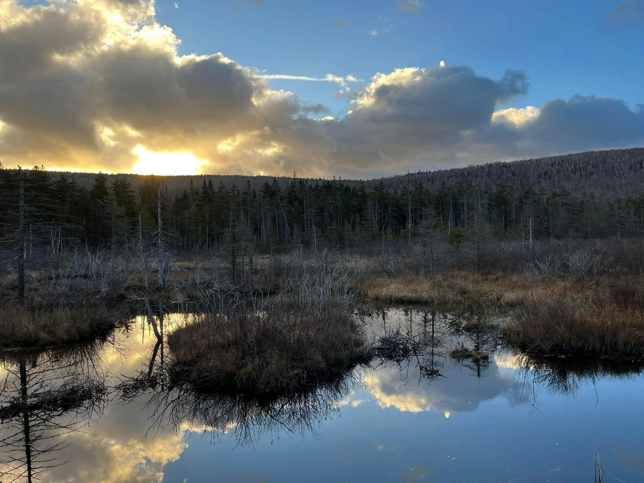
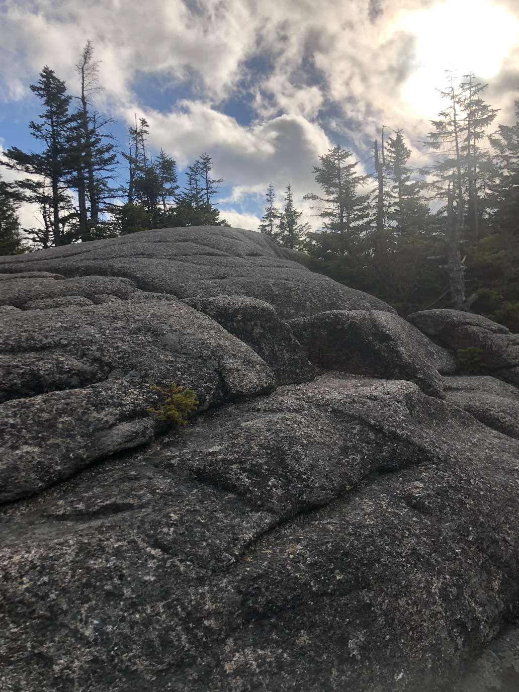
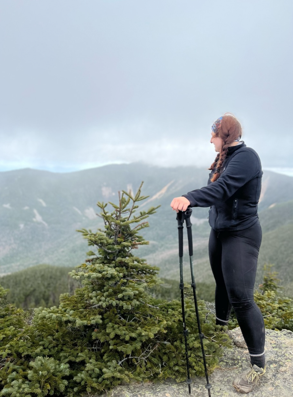
The first three miles were mostly flat, winding through marshy wetlands before hitting the Zealand Hut, one of the many AMC run cabins throughout the Whites. Hikers can stop and grab a bite to eat, a warm drink, or refill their water before continuing on their treks there. After passing Zealand Falls, the majority of elevation gain on the hike takes you to up to Zeacliff, a small rock feature offering gorgeous views to the east of the Presidential Range. A few more zig-zagging herd paths and rock scrambles along the Twinway finally lead to the 0.1 mi spur trail to Zealand Mountain.
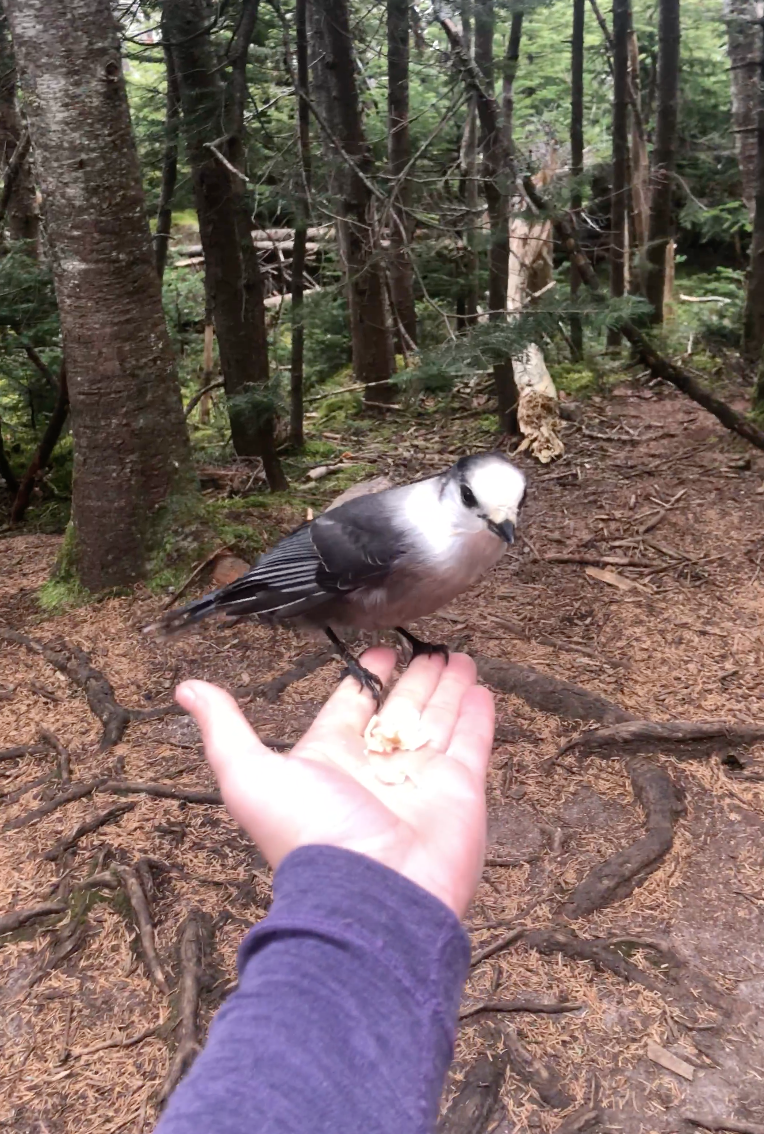
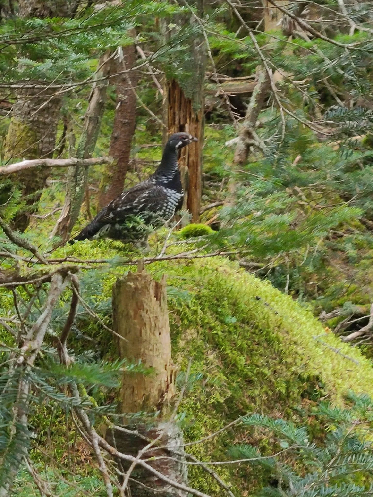
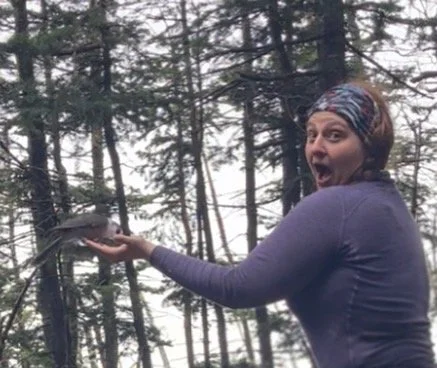
After 5.7 miles to the first peak we took photos of the decorative summit sign, broke out our stoves, and made some almond milk matcha lattes from things we’d packed out. This area is famous for very friendly grey jays who have a propensity for snagging snacks from hikers. A few birds were gathering near, so I shared a few small pieces of tortilla with one who landed right in my hand. Now I get to mark feed the grey jays* off my NH48 ‘bingo card’.
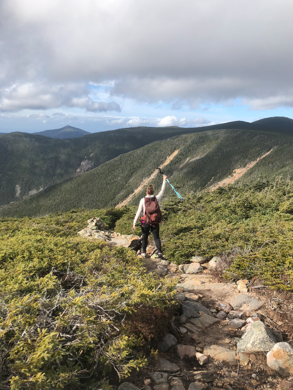
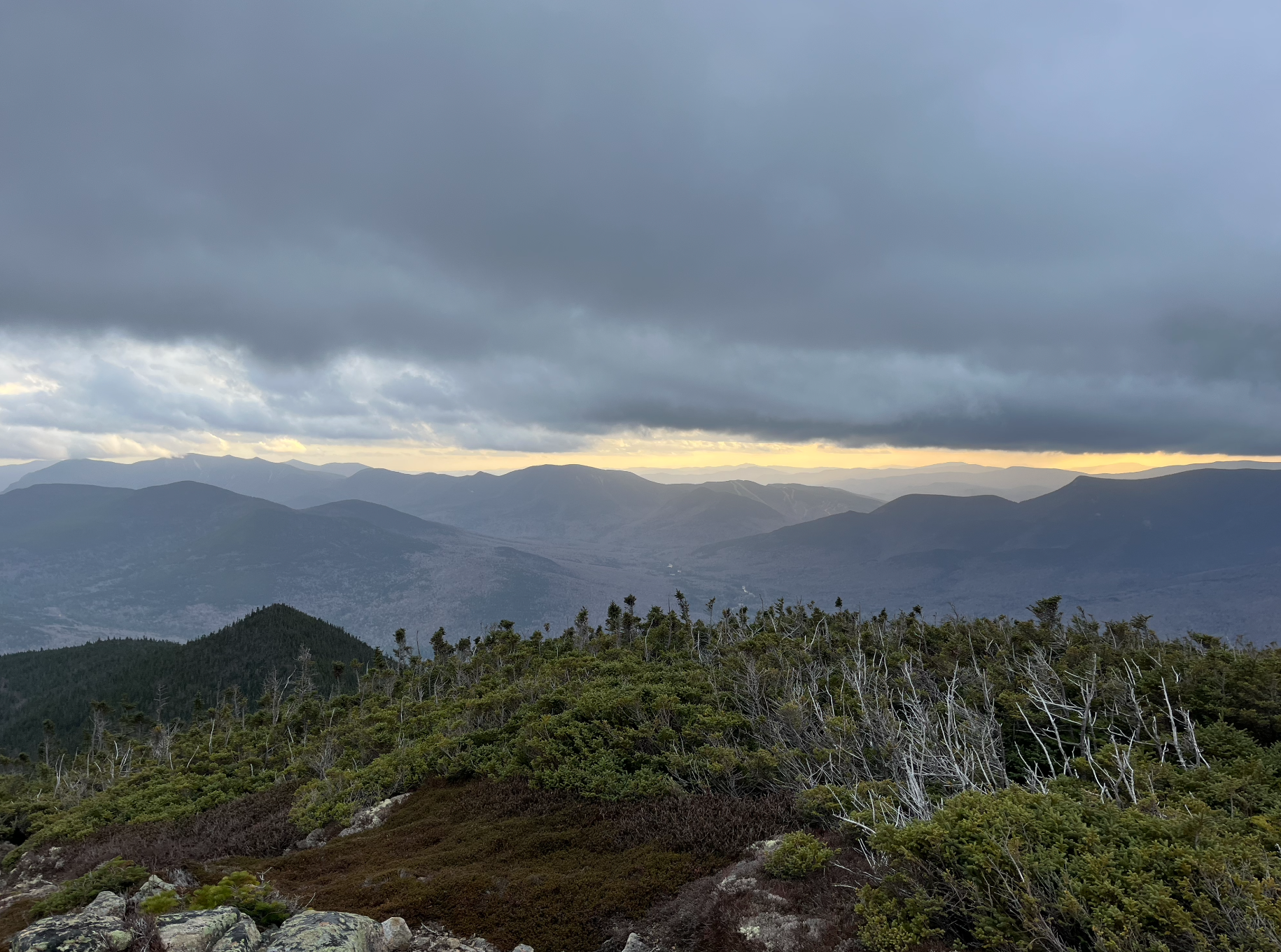
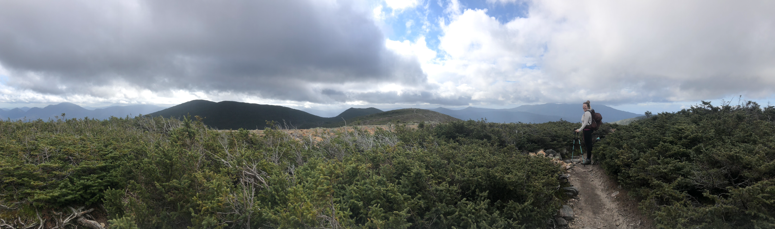
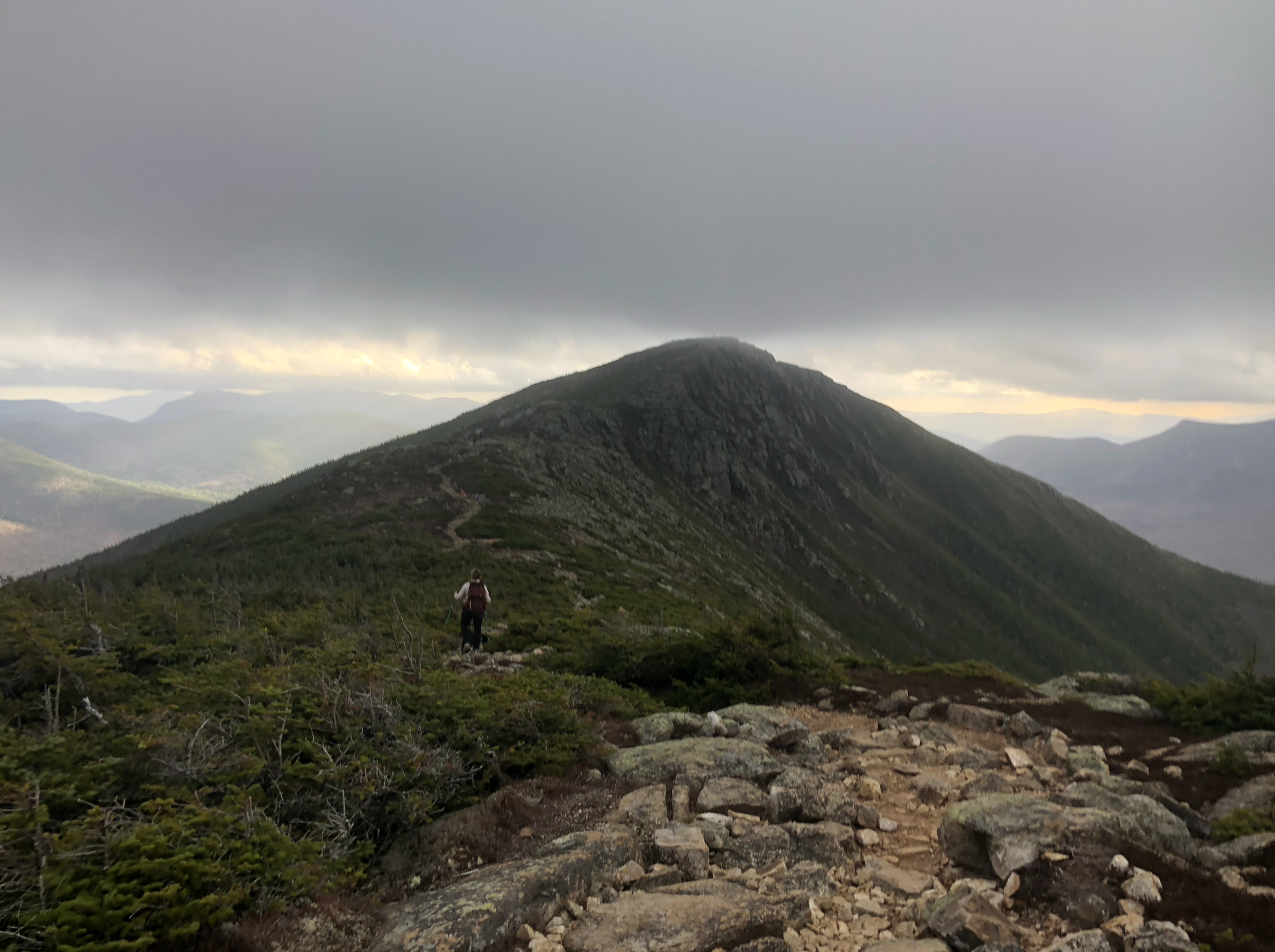
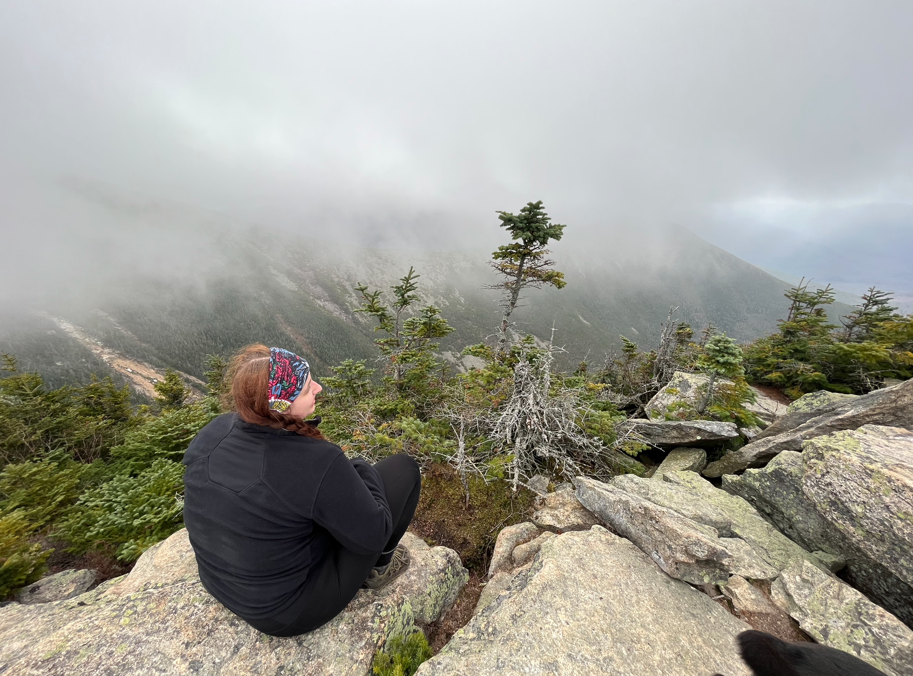
Once the wind chill hit, we decided to get moving again to warm up. It was a rolling set of ascents/descents through the wooded Twinway trail (AT) but before we knew it, we were back up above tree line in what felt like an otherworldly landscape heading up and over Mount Guyot**. The views were breathtaking so the miles came easily in this section. It had finally hit us that we were in one of the most remote places in the White Mountains. The Pemigewasset Wilderness, though well-traveled by avid hikers year round, is still untouched with no sights or sounds of civilization. A few years ago, that would have bothered me, but to be out in the wild like that made me feel so at peace with being disconnected from the world and more connected to myself. I really enjoyed being able to reflect on my growth as a hiker on this trip.
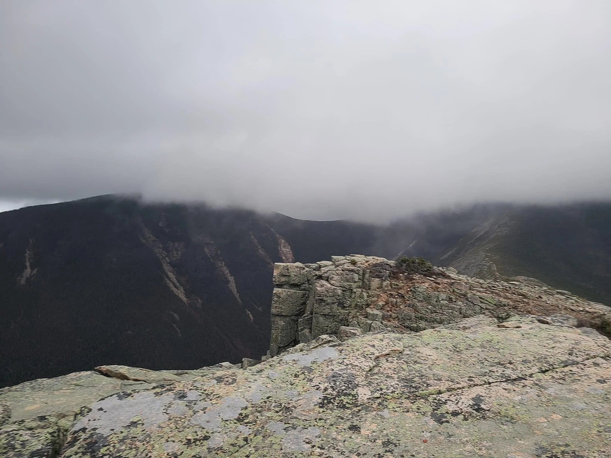
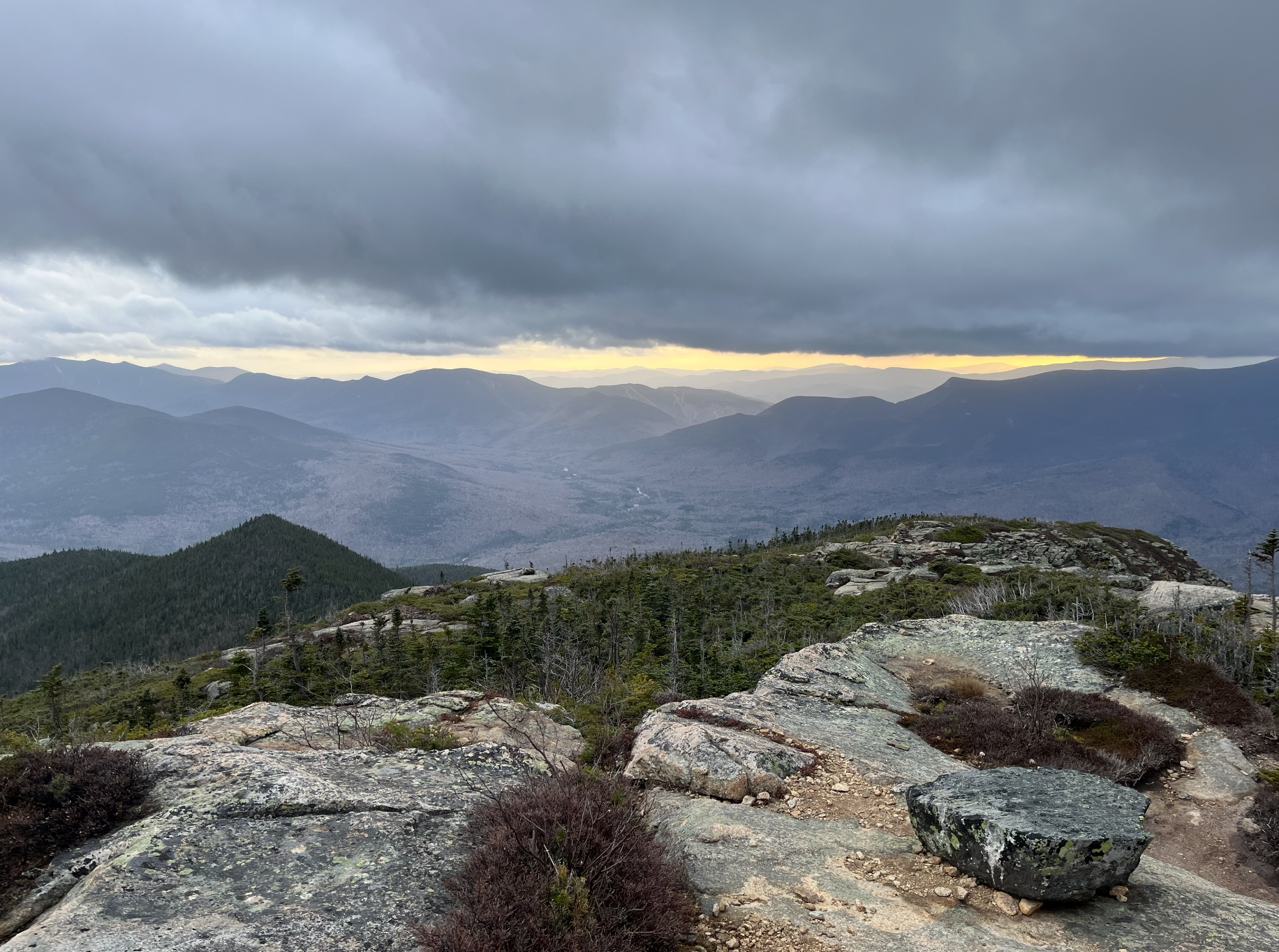
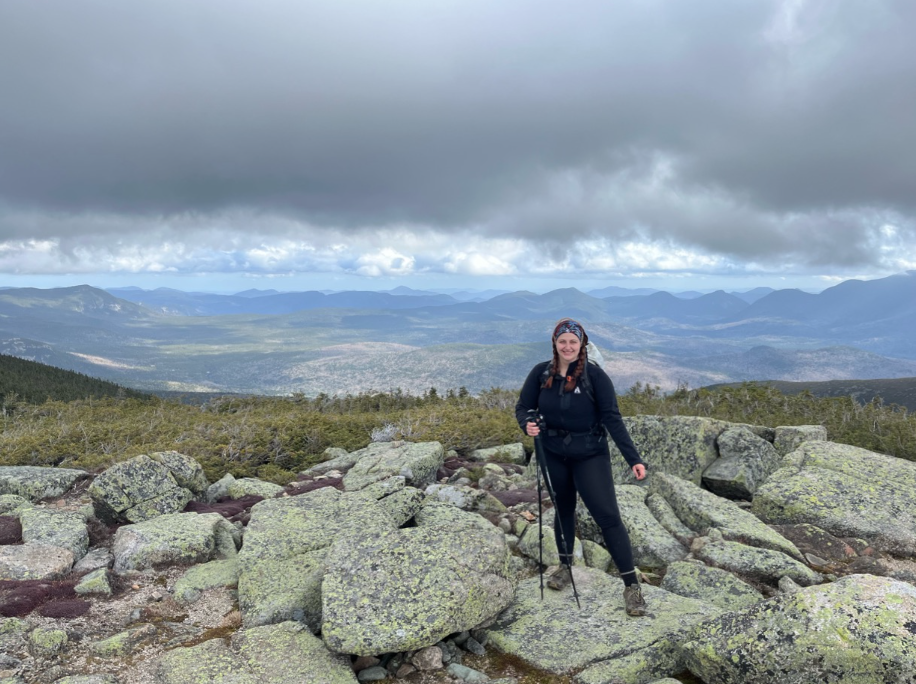
From this point, everything started coming quickly. Soon, we’d passed the Guyot Campsite and were back up in elevation to where the Bondcliff trail we were now on met up with the West Bond spur. This is usually where hikers drop their packs to move more quickly and tag the relatively cramped summit of West Bond - and who am I to break tradition? The last section up to the west peak is some good old fashioned New England bouldering above treeline, which made for an interesting descent as fog and mist began to roll in. We spotted our next target and highest peak of the day, Mount Bond, just 0.6 mi away. Unfortunately we were socked in because of the elevation when we got there, so we took a few quick photos and on to the next.
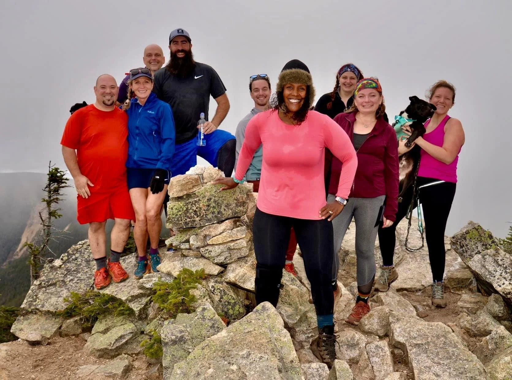
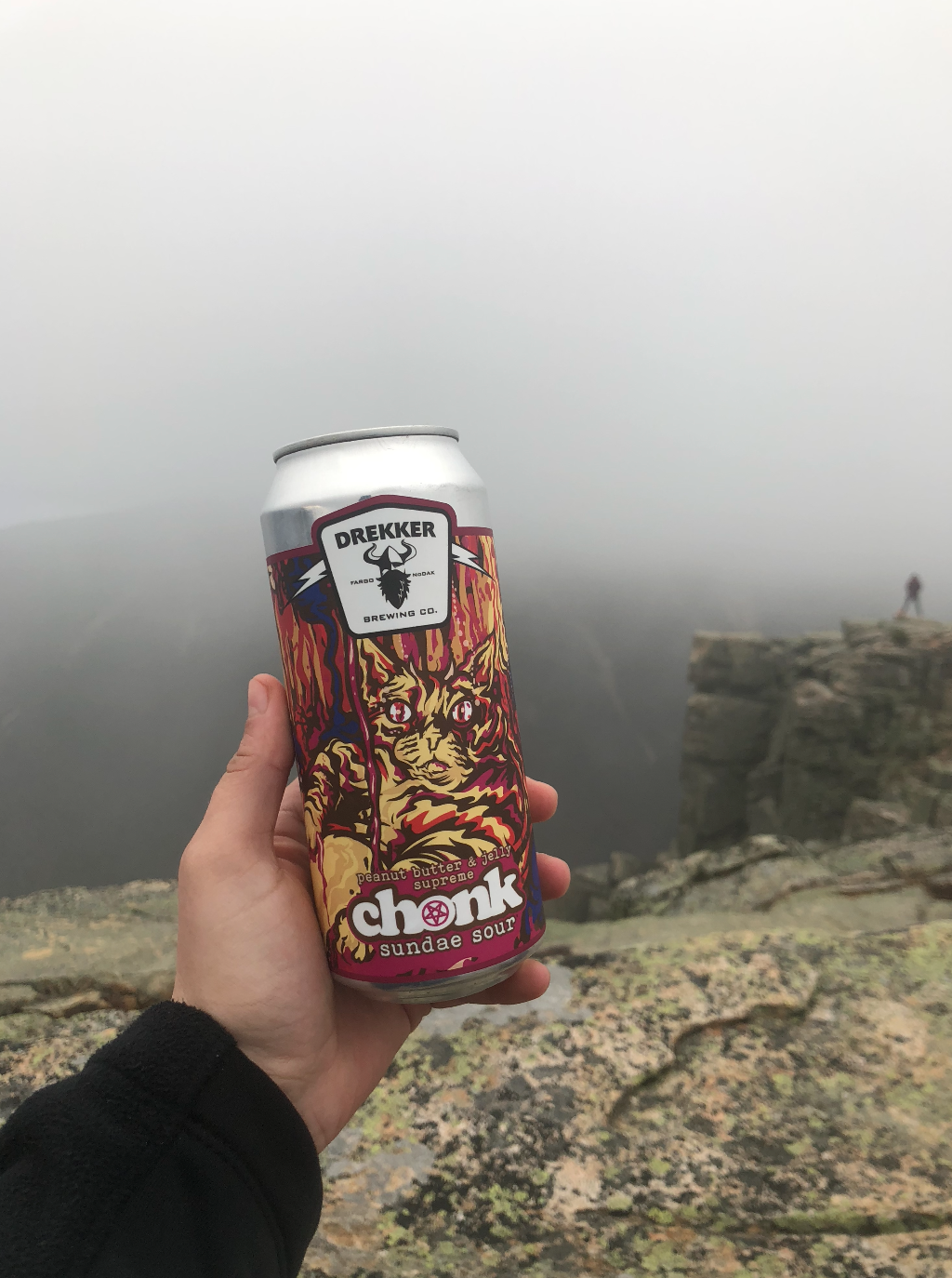
The next 1.1 mi over to Bondcliff were some of the most incredible views and terrain of the whole hike. The entire valley lit up with color so vibrantly as we moved down under the fog. There was a last push up the rock pile and then - we made it to the iconic cliff. The other group we met up with was already at the summit celebrating our new friends’ epic finish. There was beer and cake and champagne and lots of smiles: so much to love about this community. We got our mandatory Bondcliff photos and started our very long walk back to Lincoln Woods, the sun starting to set as we got back below tree line.
They call it the ‘Death March’ for a reason. I’d been walking all day; I’d seen some incredible things and met some amazing people; there was so much excitement, it was such an epic day, and then the reality of 6 miles of flat, stupid, boring, railroad-tie-infested trail in the dark. After already hiking for about 16 miles. I was so tired, my body was beat, and my sciatic nerve pain (I blame my desk job and sitting in a car for 7 hours the day before) was acting up. There was no way to avoid stepping in ‘suck-your-shoes-off’ mud even with a headlamp, so I had what I’d come to find as the worst blisters I’ve ever gotten. I just wanted to stop walking. My muscles were crying for me to stop walking… but I set a challenge for myself and I’d be damned if I didn’t see it through.
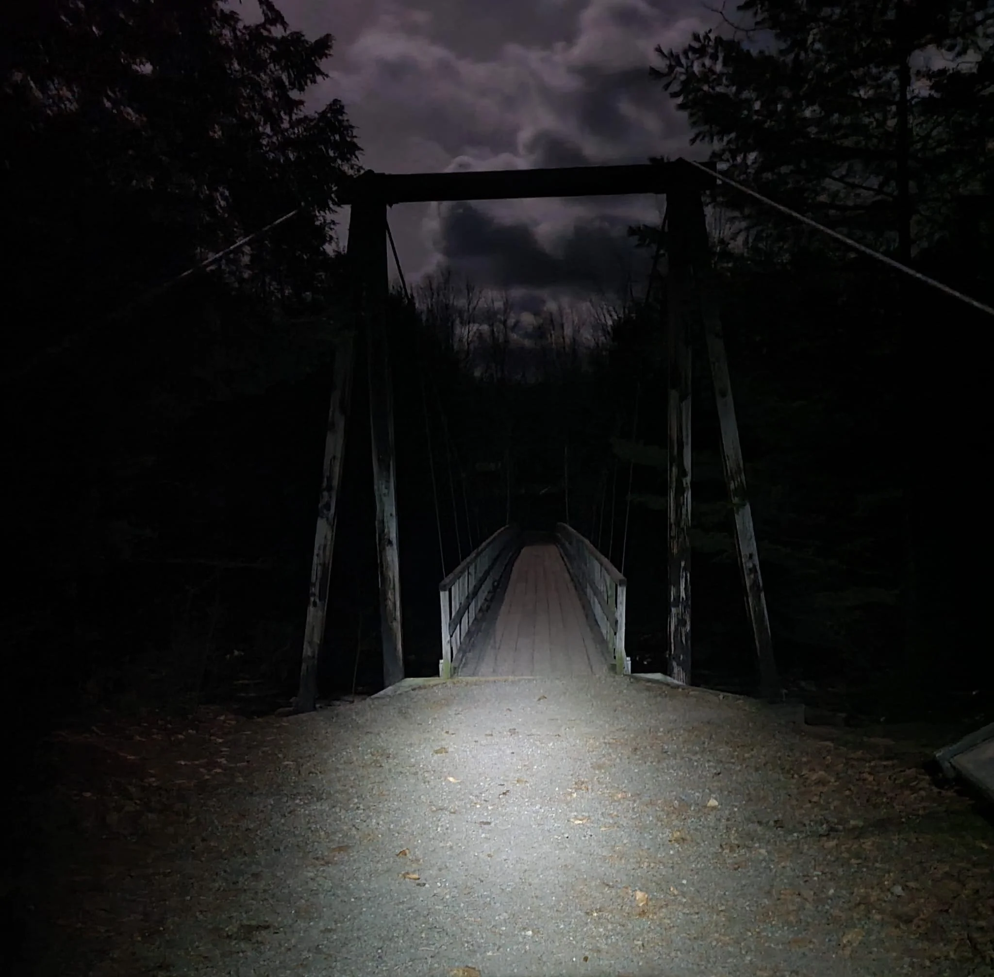
While we had gotten ahead, I physically could not keep my pace up, so I ended up catching back with some of the group we’d hiked with earlier. Joe, Jo-Ann, George, and Carrie - I thank you all so much for your kindness and encouragement. Those last 2.5 miles would have sucked so much for if not for all of you. I had never been so happy to see the near-full moon cresting over that damn suspension bridge.
But… I DID THAT!
Just over two years ago, I struggled my way over those 6 miles and 2,500 ft of elevation gain up Mt. Mansfield in the heat of the summer, exposed to the sun, underestimating these mountains - but I finished it and it sparked a need to get better. I’ve learned so much, met so many amazing people willing to offer their aid or just some kind words to keep morale up. Yesterday, according to my step tracker, I hiked 23.7 miles with 4,630 ft elevation gain - nearly a marathon. I’m proud of how I’ve gotten more fit. Despite not being at my lightest or most toned, I don’t think I could have done what I did yesterday at any other point in my life, even when I was going to the gym 6 days a week. It’s funny how the mountains draw you to push yourself beyond what you thought you were capable of. I’ll be riding the high from this day for a while. A short highlight real, because words really don’t do it justice.
NH 15, 16, 17, and 18/48
New England 20, 21, 22, and 23/67
New England 25, 26, 27, and 28/100 Highest
Northeast 22, 23, 24, and 25/115
*There is a long-running debate over whether or not feeding the Canada grey jays adheres to leave no trace principles. While we’ve all been educated to not feed wild animals, a limited amount of research has shown this feeding to not be creating human-dependent bird populations. It’s a grey area (ha-ha.) Unlike feeding the bears, this is mostly harmless and - in my opinion - there are other more important principles to uphold. To add, it’s also just a really cool experience. I think this creates a connection with nature that people wouldn’t otherwise have, so wouldn’t they be more inclined to care to protect it? Just my two cents!
**Mount Guyot, though standing at 4,580′, is not technically on the official New Hampshire 4000 Footer list due to prominence. However, recent geological surveys suggest prominence has increased to the required 200’ so Guyot may eventually be added to the list. It may potentially replace Mt. Tecumseh which, as of October 2022, stands at just 3,995’.