Equinox Mountain (3,855′)
For the record, September sucks.
This summer, I’ve been bouncing back and forth between my to expensive and time consuming hobbies; horses and running away to the mountains to go hiking. A day after my last big hike, I lost my heart horse who I’d owned and loved for nearly a decade to a horrible colic incident. Everything that I could have done, I did, but it still wasn’t enough. I’m angry. I’m heartbroken. I’m sick to my stomach over it and nothing could really make it any better. I can’t sleep, I can’t eat, people think I’m crazy because “he’s just a horse” - it’s more than telling when I hear that last line. There’s nothing comparable to the relationship between horse and rider. It’s losing something you couldn’t communicate with in words, yet still entrusted your life to. Perhaps then they’d get it.
I figured a trip out to the woods to sort my mind would do me some good.
I begrudgingly got out of bed around 10 am (I’m not one to sleep late, but the last week had been too difficult to bear staying awake for longer than I absolutely needed to be), got dressed, threw on shoes, and headed down to Manchester Center with my partner. We got to the parking lot around 11 am and started hiking. I wasn’t necessarily looking forward to checking anything off my list, but at least I’d feel like I accomplished something, anything. The Summit trail started off on a wide, switchbacked logging road and quickly turned steep and rocky after a small stream crossing. My partner had been complaining of some knee pain so, ready to bail as this trip was just not doing it for me, I asked if he’d like to turn around and head back. He said no, so we continued on as the trail narrowed and we began seeing a change in scenery, from fading maples to vivid pines and ferns.
The last 0.25 mi to the top was oddly civilized; old radio towers, wires, eventually happening upon the notable Carthusian Monastery accessible via auto road from Skyline Drive below. It’s an incredibly odd feeling to emerge from the woods covered in sweat and mud only to be faced with a horde of people dressed in their Sunday’s best. And of course, every “you HIKED up here?” - maybe we were the crazy ones. So many times I go to the mountains for some silence, when my head is rushing and I can’t turn it off. Today was just not that day and sometimes, you don’t get those answers you were looking for.
My partner’s knee pain had only worsened from the steep decline. It was a hellish 4 hours back down to the car with me doing my best to support him mentally and physically while we clambered back down by light of headlamps and the lunar light peering overhead in the trees. Did we do everything right? Probably not, but sometimes you can only do the best you can in that moment. It made me think of grief - living without really existing, survival mode, not always doing everything the right way, but in your own way to keep your head above water. We sat under the moon in the bed of the pickup truck, each with a massive Bud Light Seltzer in our hands and Chinese takeout in our laps. We were banged up, but still proved to ourselves if we can still find a way to laugh even in those darkest moments; well, I guess we’re doin’ alright.
NH 3/48
New England 8/67
New England 11/100 Highest
Northeast 10/115


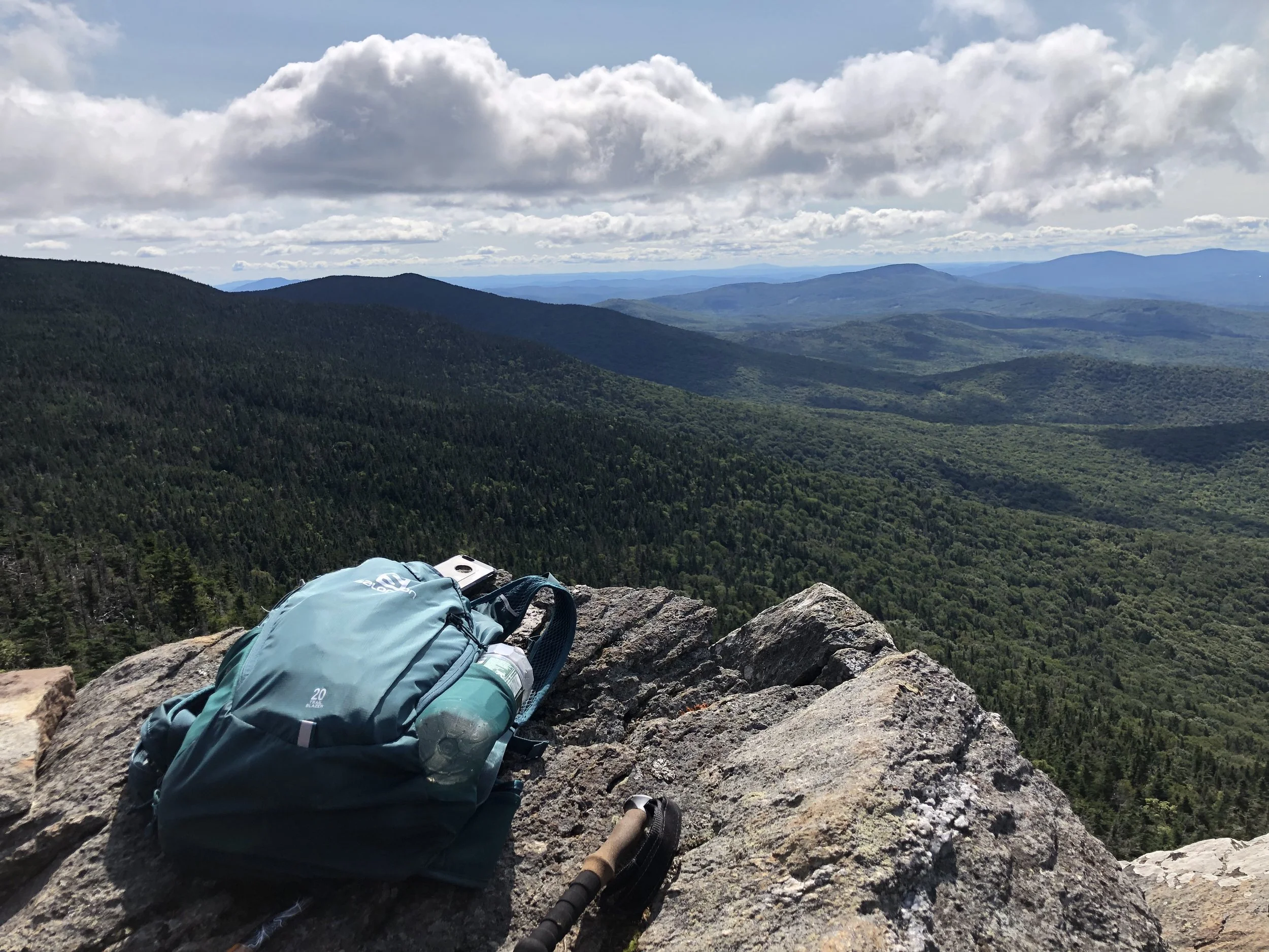
Mendon Peak (3,840′)
Directional navigation has always made sense to me, and I’ve truly always had a knack for it, especially on road trips. It’s not all that complicated. Begin with positioning the sun - in the Northern Hemisphere, the sun’s highest point in a given day is directly south, you just have to visualize the projected arc. Once you have that, the other cardinal directions are easily realized. I’ve read a lot of maps; roadways, topographical, etc. Maybe I’ve just gotten good at navigational awareness, but I will never claim to be perfect. This trail certainly gave me a run for my money.
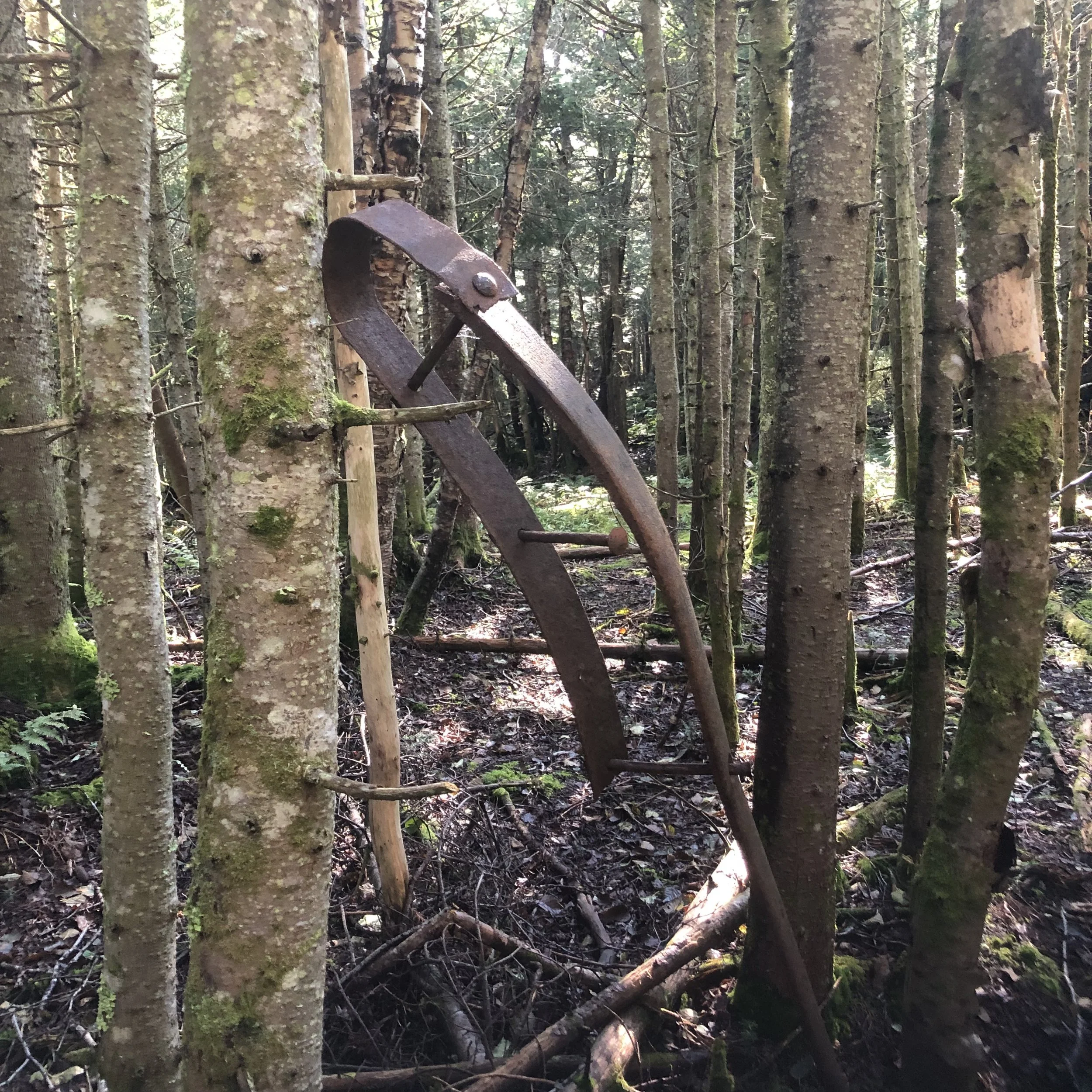
The Mendon Peak trail, though not much of a trail as I’d come to find out, shares a parking area with the Bucklin trail I used to hike Killington a year prior. A longer mileage hike for a single, smaller peak at around 10 miles, the first mile is a relatively flat logging road until you reach a fork. From there, things get a bit tricky with multiple turns coming up quickly, around every 0.25-0.65 mi. Nothing is marked and I found myself searching for the brook crossings I read about in the guide book before leaving for this hike. At some point, I’d gotten off track, resulting in a 2 mile bushwack to get back on trail. Exhausted, mostly from nerves as this is a very remote trail, I finally found the brook I should have woven over several times and continued on.
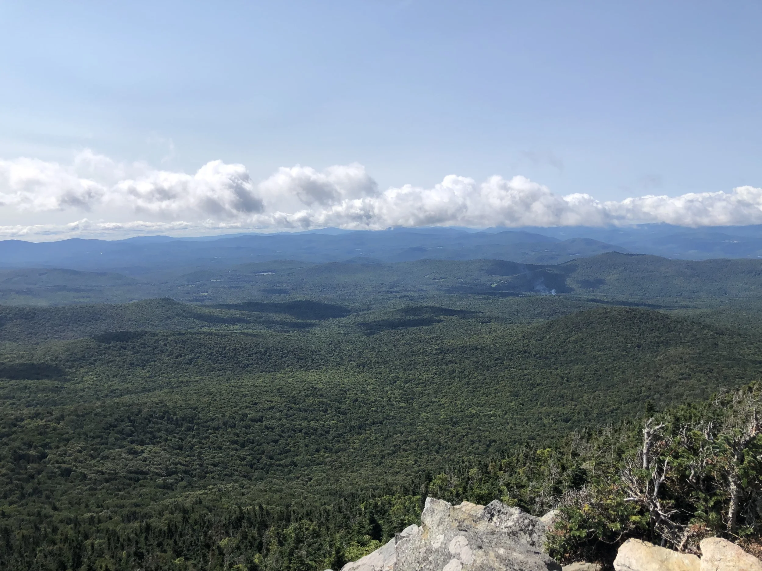
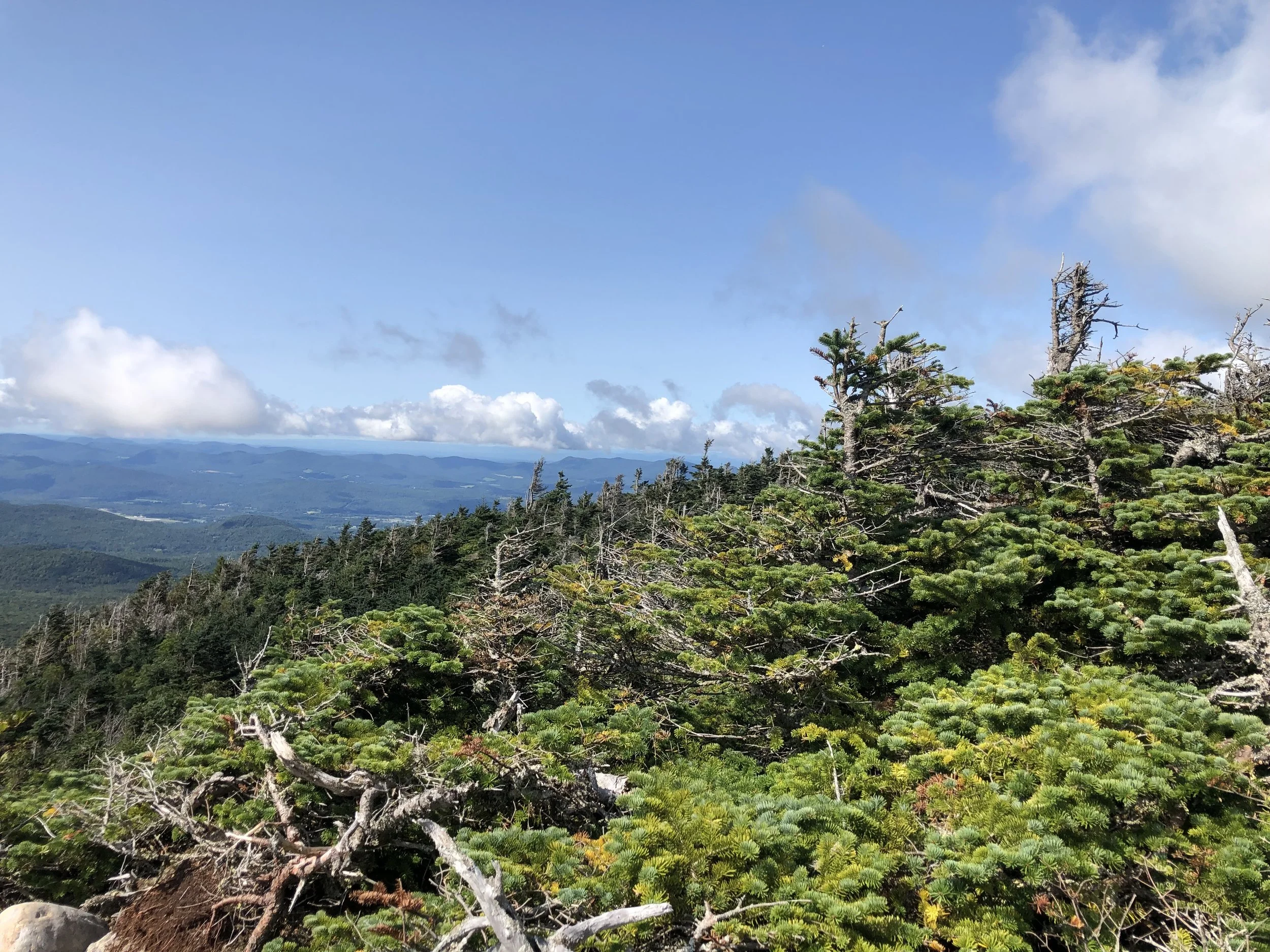
From there, the trail is a series of steep switchbacks up to the peak - I would say these would be welcome, as switchbacks are fairly uncommon in New England, but the added distance was frustrating and I was running out of battery life from trying to find my way back on trail. The last mile to the top is, once again, completely unmarked and in a more open forest so it was really easy to lose your way. The actual summit is wooded, but there is a nice overlook slightly northwest from the sign where I recognized the Killington fire tower and Pico Peak. Should I have brought a backup battery charger? Sure. Should I have brought a paper map? Maybe, though it might not have even been that helpful since there really was no trail. Learn from my mistakes and always have a backup to your choice of navigation just in case.
After a quick snack on the overlook, I bolted back down the mountain - the correct way this time - and made it back to the truck before my phone died. Between the bushwacking and wandering around to find the trail, I hiked almost a half marathon today. Needless to say, I was happy to make it back home.
NH 3/48
New England 8/67
New England 10/100 Highest
Northeast 9/115