Mendon Peak (3,840′)
Directional navigation has always made sense to me, and I’ve truly always had a knack for it, especially on road trips. It’s not all that complicated. Begin with positioning the sun - in the Northern Hemisphere, the sun’s highest point in a given day is directly south, you just have to visualize the projected arc. Once you have that, the other cardinal directions are easily realized. I’ve read a lot of maps; roadways, topographical, etc. Maybe I’ve just gotten good at navigational awareness, but I will never claim to be perfect. This trail certainly gave me a run for my money.
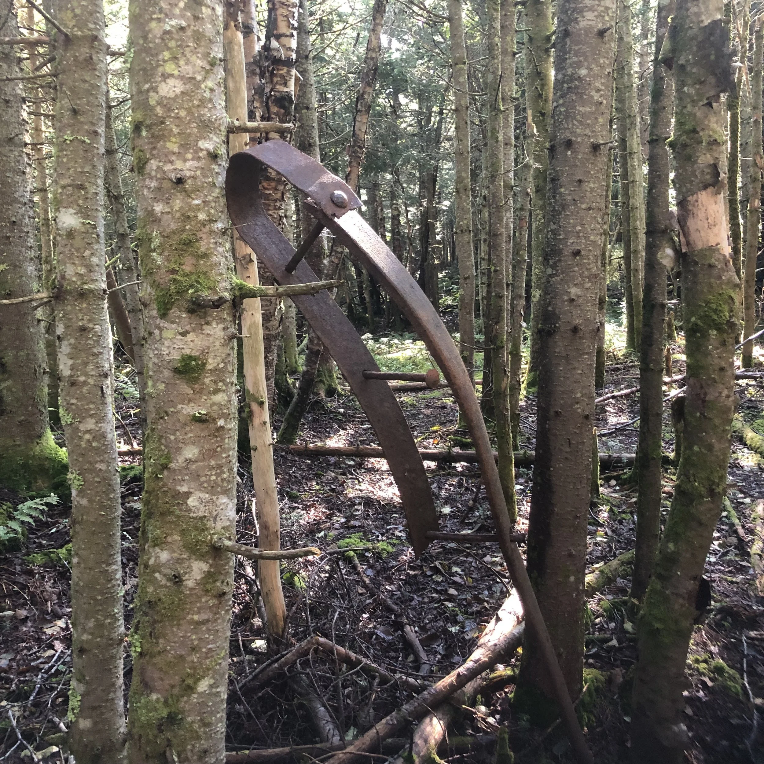
The Mendon Peak trail, though not much of a trail as I’d come to find out, shares a parking area with the Bucklin trail I used to hike Killington a year prior. A longer mileage hike for a single, smaller peak at around 10 miles, the first mile is a relatively flat logging road until you reach a fork. From there, things get a bit tricky with multiple turns coming up quickly, around every 0.25-0.65 mi. Nothing is marked and I found myself searching for the brook crossings I read about in the guide book before leaving for this hike. At some point, I’d gotten off track, resulting in a 2 mile bushwack to get back on trail. Exhausted, mostly from nerves as this is a very remote trail, I finally found the brook I should have woven over several times and continued on.
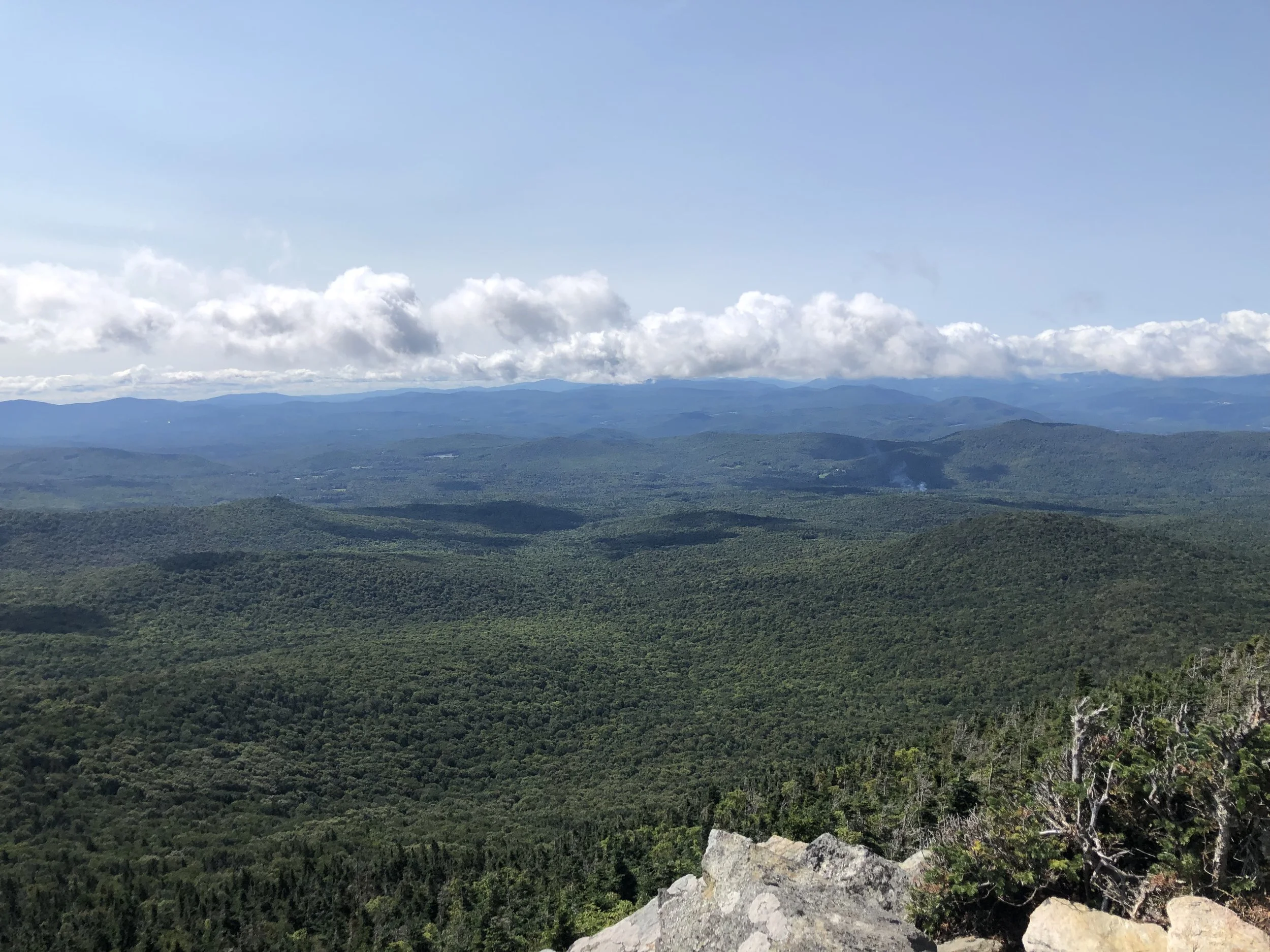
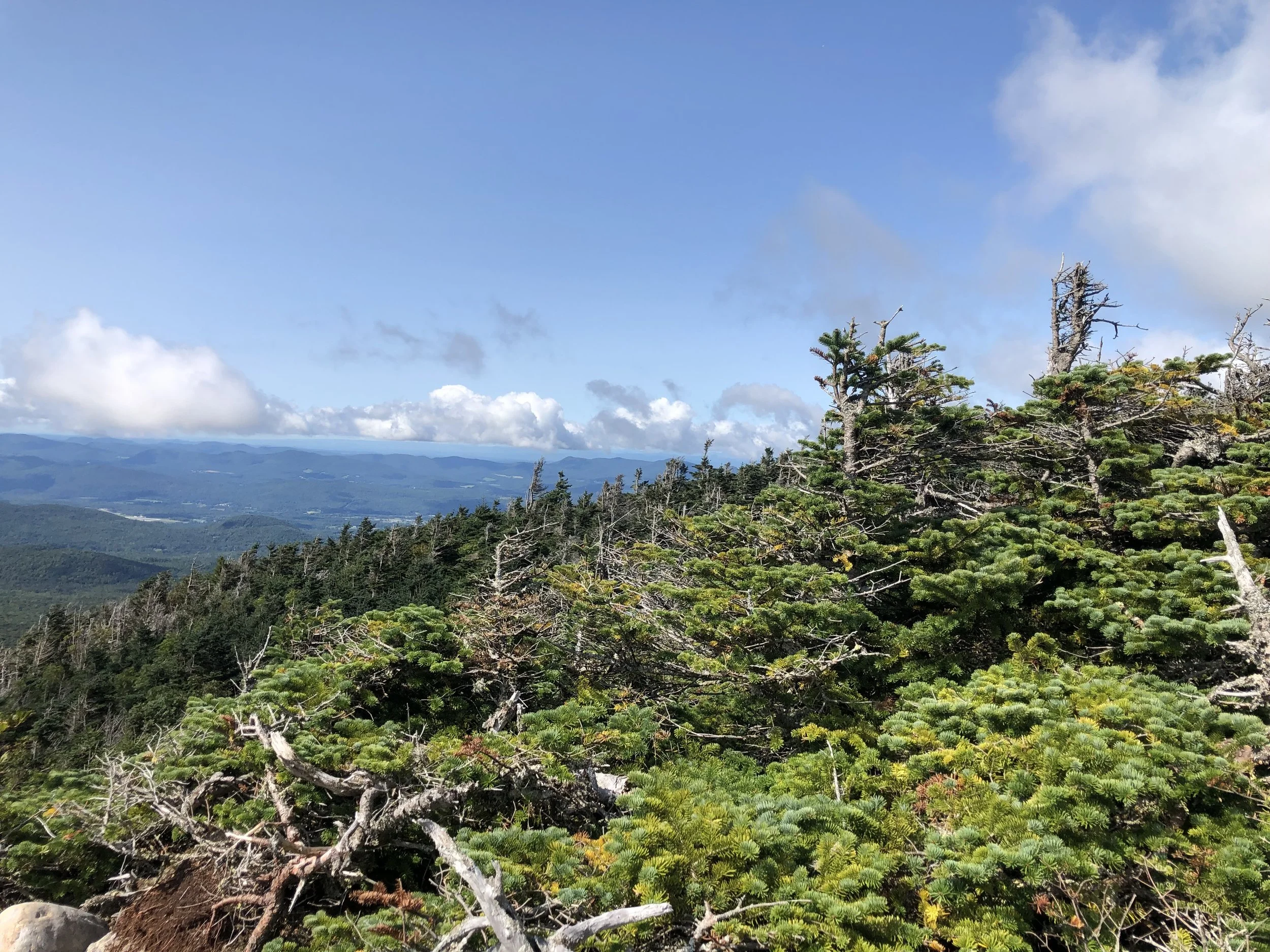
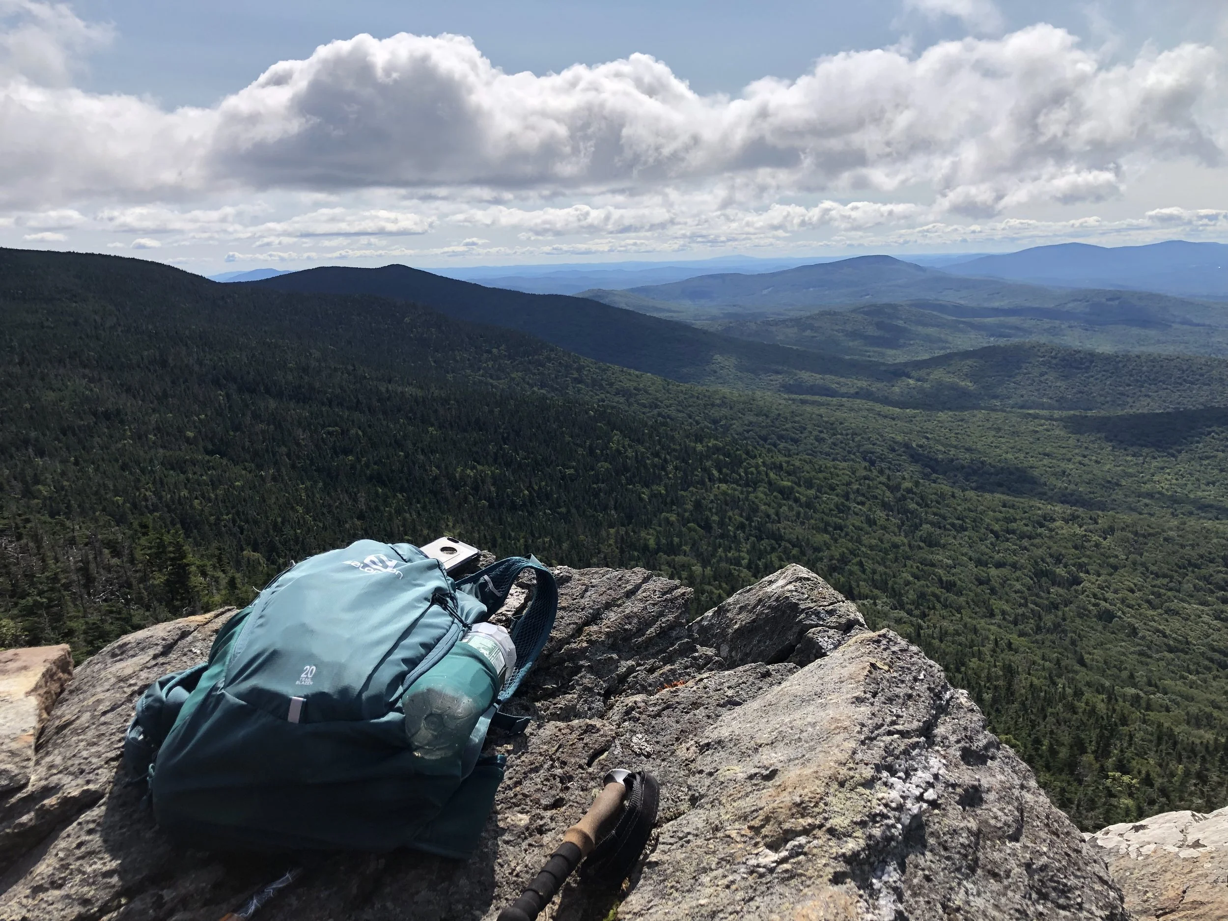
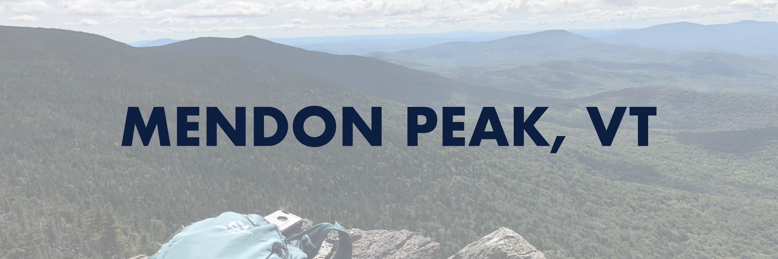
From there, the trail is a series of steep switchbacks up to the peak - I would say these would be welcome, as switchbacks are fairly uncommon in New England, but the added distance was frustrating and I was running out of battery life from trying to find my way back on trail. The last mile to the top is, once again, completely unmarked and in a more open forest so it was really easy to lose your way. The actual summit is wooded, but there is a nice overlook slightly northwest from the sign where I recognized the Killington fire tower and Pico Peak. Should I have brought a backup battery charger? Sure. Should I have brought a paper map? Maybe, though it might not have even been that helpful since there really was no trail. Learn from my mistakes and always have a backup to your choice of navigation just in case.
After a quick snack on the overlook, I bolted back down the mountain - the correct way this time - and made it back to the truck before my phone died. Between the bushwacking and wandering around to find the trail, I hiked almost a half marathon today. Needless to say, I was happy to make it back home.
NH 3/48
New England 8/67
New England 10/100 Highest
Northeast 9/115