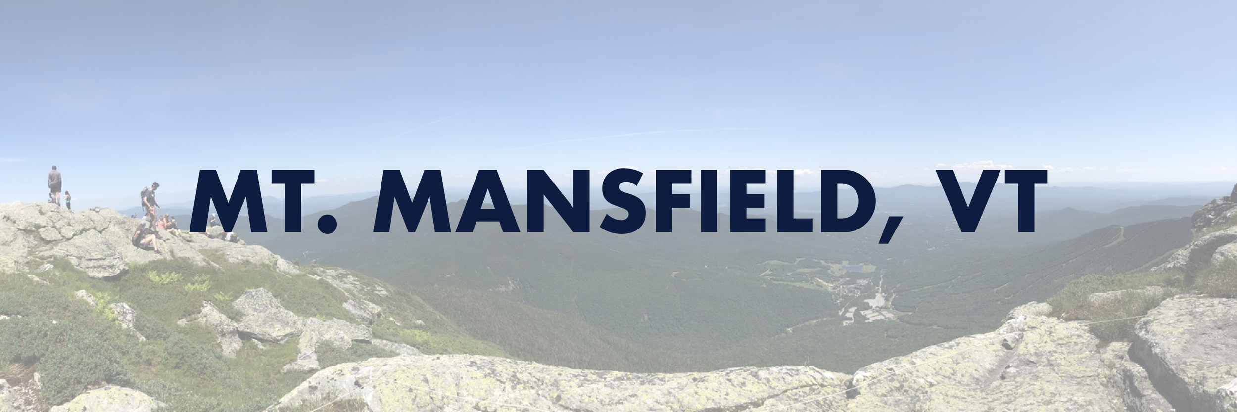
Mount Mansfield (4,395′)
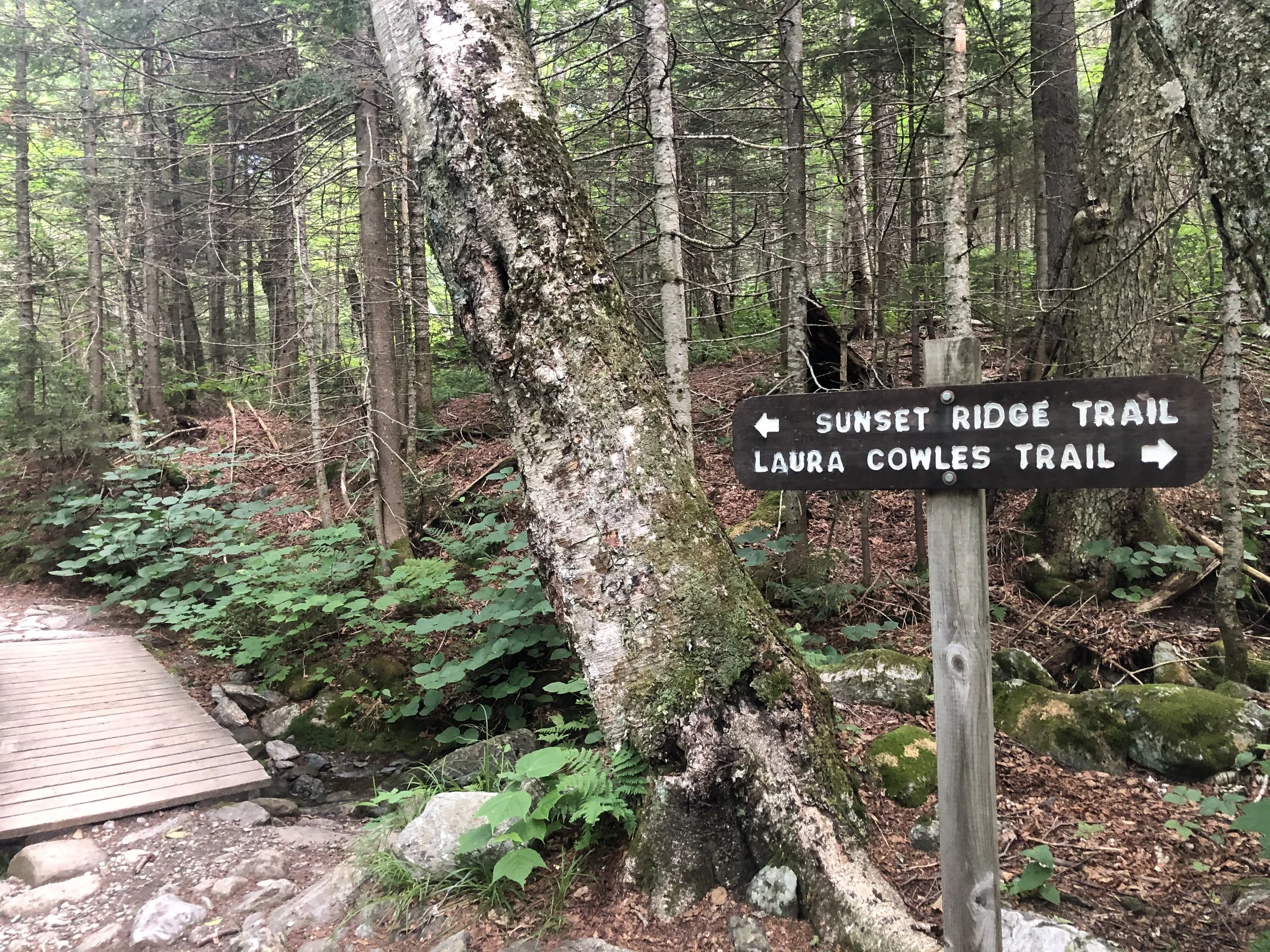
I’d be lying if I said with 100% certainty I knew what I was getting myself into. After a day of researching, much of it from others’ recommendations in a Facebook group, I made my way from my mom’s place outside of Rutland, VT up to Underhill State Park around 2 hours away. I decided to ascend via the Laura Cowles trail starting around 8:30 am - this was the shorter and steeper 2.6 mi route directly up to The Chin, the highest point of the mountain.
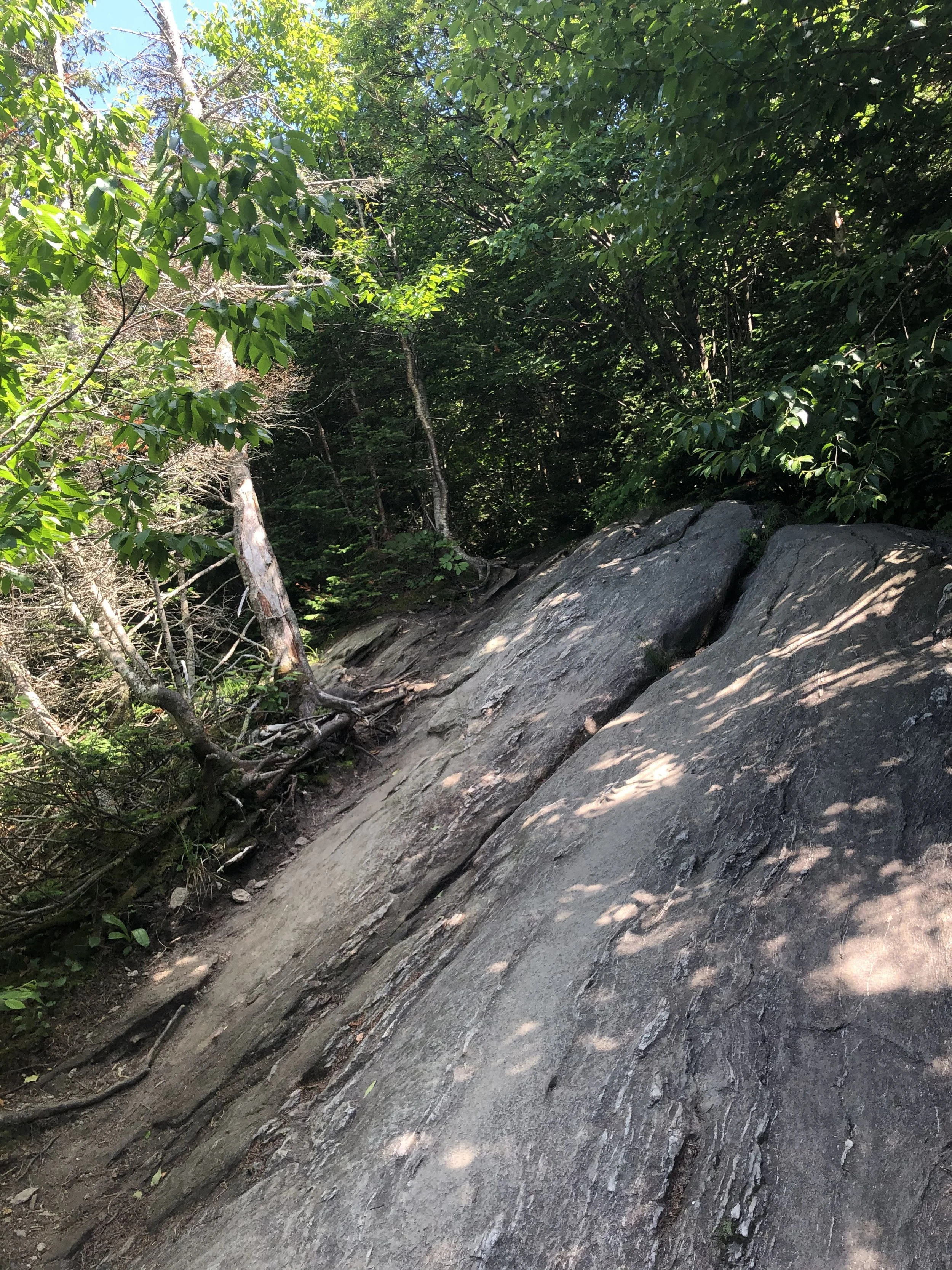
The first mile or so of trail is an old logging road, which felt pretty gentle. Once officially on the Laura Cowles trail, the terrain became more and more rugged the way up. Roots, slabs of granite, small boulder fields - it felt like a big outdoor playground. Soon, the trees grew smaller and smaller until they practically disappeared for the last 3/4 of a mile to the summit. This was my first time entering the Alpine Zone, a biome that exists in higher elevations with fragile vegetation that takes years to grow and seconds of misplaced footsteps to be totally destroyed.
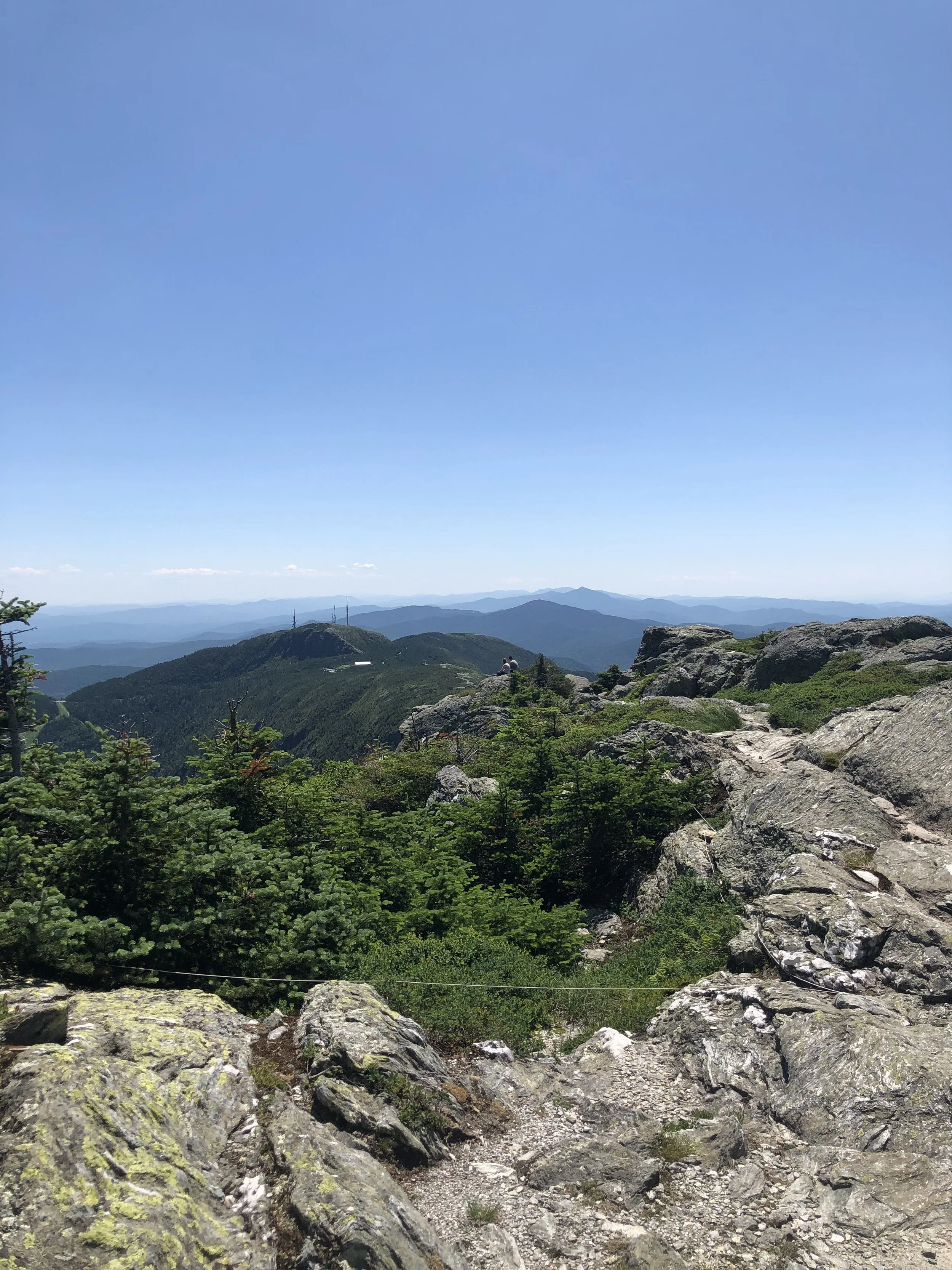
There was something about crawling up that rock scramble nearing the top that just made me feel small and insignificant, but not in a negative way. I was just grateful and humbled by the fact I was able to exist under those conditions in that moment. A ‘Carole King’ sense of feeling the earth move beneath your feet, it just keeps turning while we’re all trying to get somewhere because we’re human and that’s what we do. Despite the scorching July heat, sun exposure, and (what I would later find out to be) expired sunscreen, I pushed on and joined up with the Long Trail (LT) to summit Mansfield. Along the LT were the additional prominences of the mountain; to the north, the Adam’s Apple and to the south, the Nose and the Forehead.
I can’t say it was an emotional event, I’m just not that kind of person. I was exhausted and low on water, so I laid down on a rock and basked in the late morning sun like a lizard, content and feeling as though I was simply meant to be there. I snacked on half a protein bar, took some photos, peered down at (from where I was standing) the small town of Stowe, and began my descent down the Sunset Ridge trail. My legs felt like jello and I was ‘lobstah’ red upon returning to the car from my day above tree line, but I was filled with such immense pride in my accomplishment. I stopped at a packie on the way back and celebrated with a Snickers bar, Dilly Bites, and a cold Long Trail Ale - that’s just the hiker way - and began planning my next trip.
NH 0/48
New England 1/5
New England 1/100 Highest
Northeast 1/115